14 PETERSON LANE
Owner Information
CABRERA MOSES C & CARLY G TE
14 PETERSON LANE
FOXBOROUGH, MA 02035


Property Details
14 PETERSON LANE is classified as a Single Family Residential (Colonial).
The primary structure on this property was built in 2017. There are 6,526ft2 of built area within this property. There is 2,946ft2 of residential/living space within this property. This property is listed as having 7 rooms.
14 PETERSON LANE is valued at $737,100. The land is valued at $210,300 and the structures are valued at $526,800.
This property is in Zone R15. Confirm with local Zoning Board authorities to ensure there are no overlays or other easements on this property.
The most recent deed for 14 PETERSON LANE is recorded at the local registrar in Book 35715, Page 0335. 14 PETERSON LANE was last sold on Tuesday, January 2, 2018 for $747,167.
Assessment data from fiscal year 2022.
Flood Data
According to the FEMA National Flood Hazard Layer, this property does not appear to be in a flood zone. It may also be in an area not yet reviewed. Nonetheless, confirm this information prior to taking any action.
To view the flood hazards around this property, create a FEMA "Firmette" Map of the area around 14 PETERSON LANE.
Broadband Internet Providers
| Provider | Type | Bandwidth (mbps) | |
|---|---|---|---|
| VSAT Systems, LLC. | Satellite | 2 | 1 |
| Crown Castle Fiber | Fiber | 0 | 0 |
| Viasat Inc | Satellite | 100 | 3 |
| Verizon New England Inc. | DSL | 15 | 1 |
| Verizon New England Inc. | Fiber | 940 | 880 |
| Comcast | Cable | 1000 | 35 |
| PAETEC Communications, Inc | Fiber | 0 | 0 |
| GCI Communication Corp. | Satellite | 0 | 0 |
| HughesNet | Satellite | 25 | 3 |
Broadband service provider data from December 2020.
Adjacent Properties
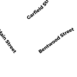
- 87 MAIN STREET
Two-Family Residential owned by DIMARZIO RUTH E - 12 PETERSON LANE
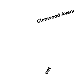
Single Family Residential owned by SHOW MATTHEW B & JESSICA M TE - 17 GLENWOOD AVENUE
Developable Residential Land owned by BRIARWOOD CONSTRUCTION CORP - 83 MAIN STREET
Single Family Residential owned by MACMASTER ROBERT S & KAREN E TE